Research Overview
|
Motivation
Our planet is rapidly changing. Many scientists warn that we are in the middle of the Earth's sixth mass extinction event - the first in 65 million years (end of the dinosaurs). As a researcher, my personal mission is to 1) study how biodiversity and ecosystems are responding to global change and 2) study the capacity of biodiversity and ecosystems to keep up. I study wildlife, forests and freshwater from individual ecosystems to landscapes to continents. |
|
Current projects
|
Climate corridors in Central America
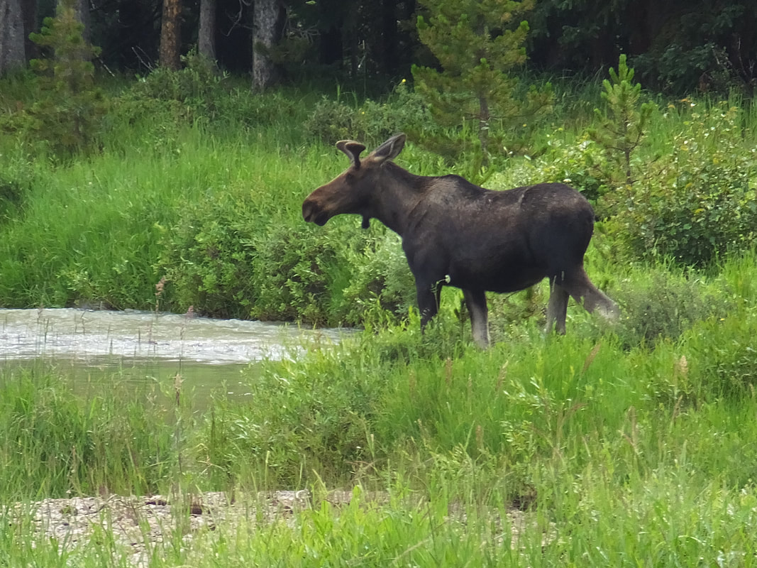
Climate corridors are wildlife corridors that help species retreat to higher elevations as our climate changes. I am investigating potential locations for climate corridors within the AmistOsa region of Costa Rica, as well as throughout Central America, using high-resolution imagery and cutting-edge geographic information systems (GIS) tools. These landscapes are some of the most species-rich in the world, but are also heavily threatened by climate change and habitat fragmentation (often due to agriculture). I work with scientists at the nonprofit Osa Conservation and local stakeholders to identify sites that if protected or restored, could become parts of climate corridors. I also analyze wildlife detected with remote cameras (i.e., "camera traps") to study to what extent wildlife is currently moving throughout the landscape, particularly in locations thought to function as climate corridors. |
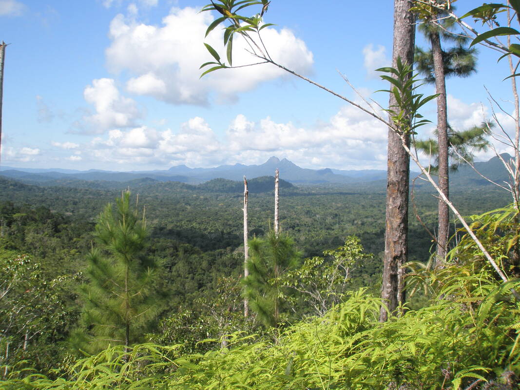
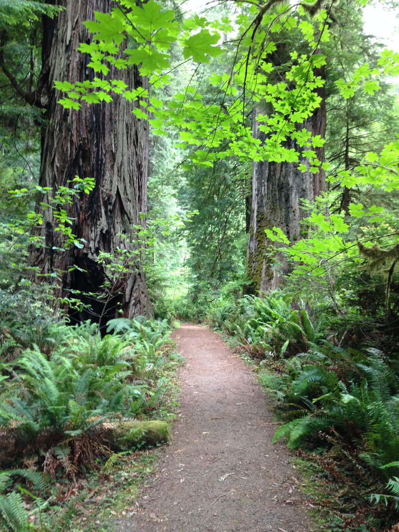
Tropical mountain landscapes are among the most biologically diverse places on Earth. Their dense forests and variable topography provide habitat for a wide range of species. Tropical mountain landscapes are also key destinations for species threatened by climate change and therefore are major conservation priorities.
|
|
Wildfire effects on lake ecosystems
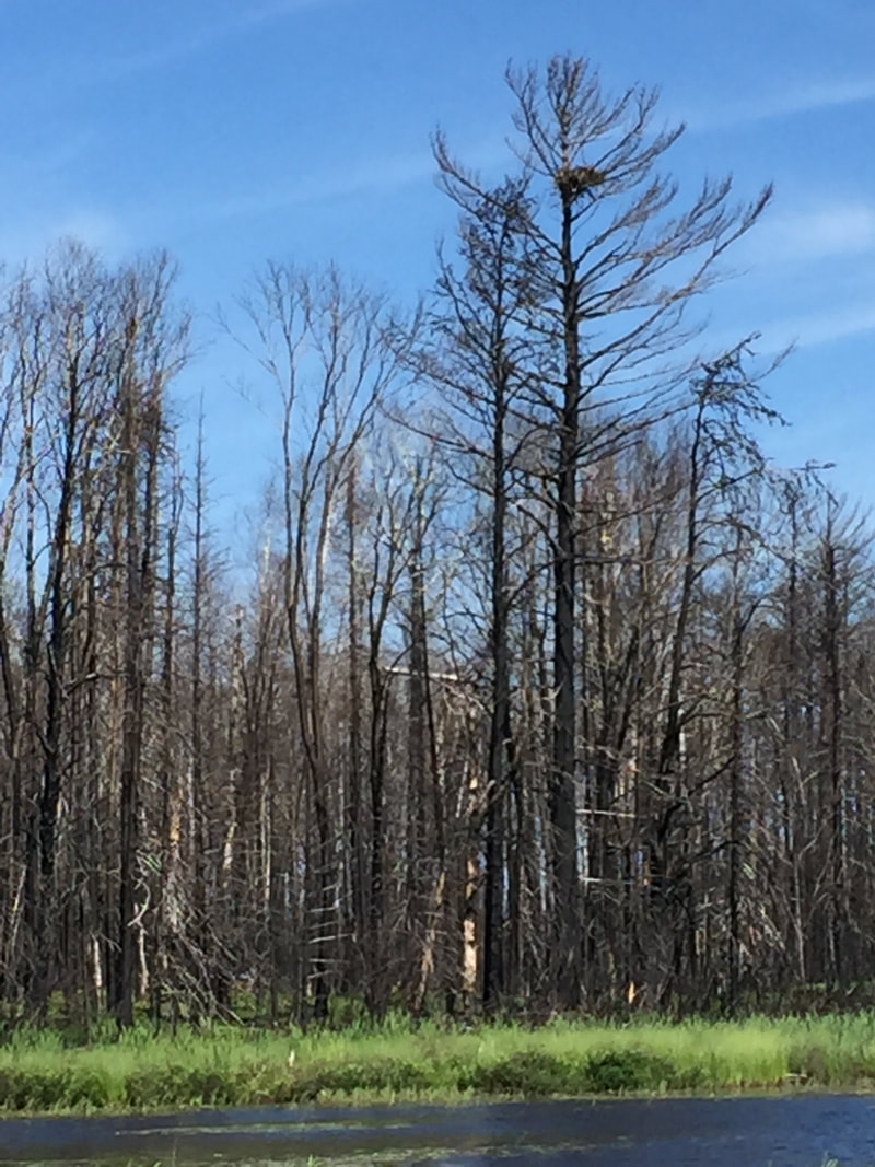
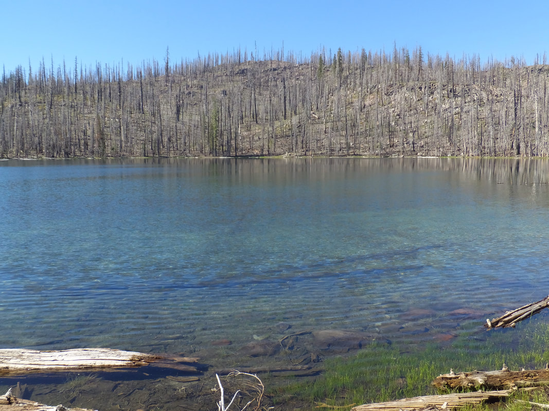
As wildfire activity has increased throughout much of the US over recent decades, thousands of lakes and reservoirs (hereafter, lakes) have experienced watershed wildfires and may therefore suffer declines in drinking water quality or recreational value. Despite this, there has been relatively little research on the effects of wildfires on lakes; what we know generally comes from a small number of Canadian studies or from stream and river research. Therefore, we urgently need research more lake-fire research across more ecologically diverse regions, particularly in fire-prone or heavily populated regions. Currently, my colleagues and I are studying the effects of the 2021 Greenwood Fire on lakes in Superior National Forest, Minnesota. Specifically, we targeted lakes ranging from minimally burned watersheds to completely burned watersheds and are tracking how lakes respond throughout the ice-free season (i.e., from May snowmelt to the onset of fall in September). We were fortunate to obtain a RAPID grant from the US National Science Foundation for this research (awards 2212082 and 2212083). I have also recently collaborated with the Lake County Water Resources Department to study the response of Clear Lake, California to the record-setting 2018 Mendocino Complex Fire, which burned 40% of the Clear Lake watershed. Clear Lake is the largest naturally formed lake in California (besides Lake Tahoe, which is shared with Nevada) and supplies drinking water for 40,000 people, many of whom are economically disadvantaged or members of local Tribes. In this project, we took advantage of over 50 years of phosphorus data, a key limiting nutrient for primary productivity. Interestingly, long-term climate warming over the last 50+ years is a bigger driver of phosphorus increases (i.e., "eutrophication") than episodic wildfires. |
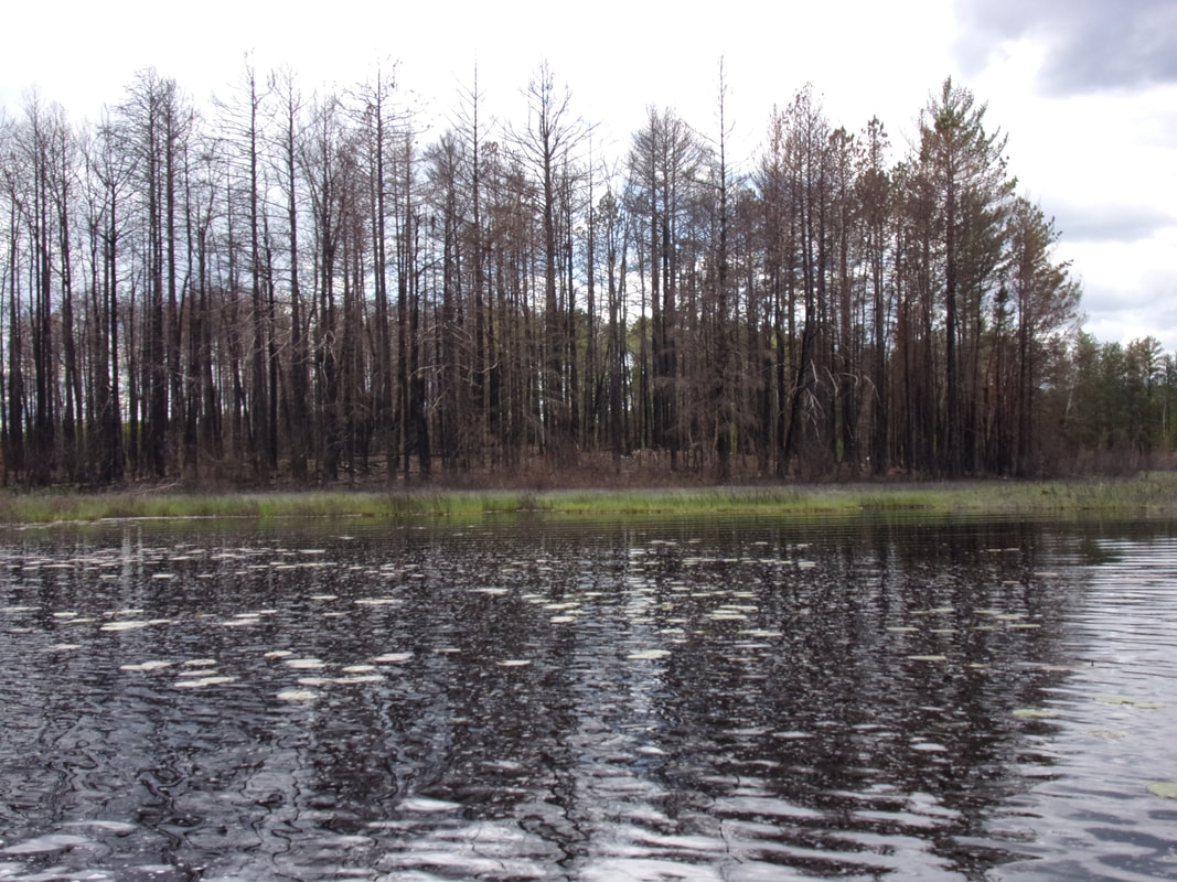
Burned shoreline of the McDougal Lakes from the 2021 Greenwood Fire in Superior National Forest, Minnesota (photo: June 2022)
Here is the story of how a hike through the charred woods in Lassen National Park, CA inspired my interest in lakes and fires, leading to an award-winning review paper: "Do lakes feel the burn?"
McCullough et al. (2019); Global Change Biology. |
Freshwater connectivity and conservation
|
I recently investigated relationships between freshwater habitat corridors (i.e., networks of lakes and streams/rivers) and protected areas across the US using the same methods used to map corridors on land. Interestingly, most networks of lakes, rivers and streams only span 5-6 km north-south, indicating that relatively few, large networks are important for large-scale connectivity, but these tend to be heavily dammed. Moreover, freshwater networks are poorly represented in protected areas, which are typically designed for terrestrial biodiversity and ecosystems.
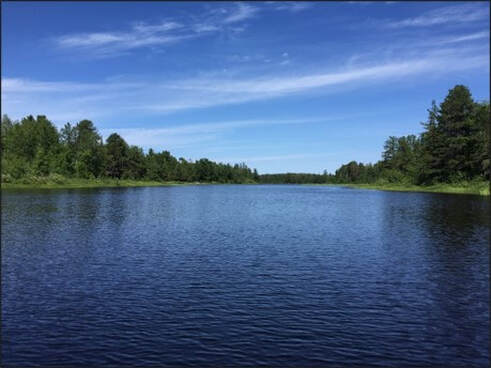
Although designating vast new protected areas and large-scale dam removal may be impractical, an efficient conservation strategy for maintaining intact freshwater corridors may be to focus on "hub lakes". These lakes are like hubs within human transportation systems: most routes go through these lakes. Therefore, maintaining connectivity at and around these hubs can disproportionately benefit freshwater networks and therefore help maintain corridors for freshwater biodiversity. An example of a hub lakes is Slate Lake, Minnesota (right), which can disproportionately benefit freshwater corridors and biodiversity across larger areas because it is well connected to other waterbodies. |
|